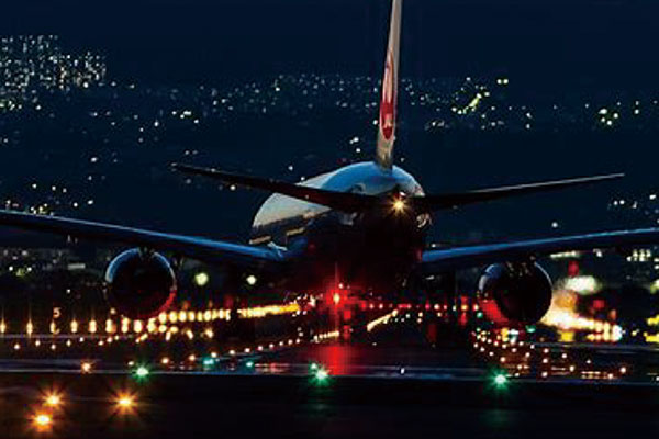
The take-off and landing of aircraft mostly depend on weather conditions, and low visibility brings great hidden danger to flight. Thermal imaging can provide aircrew with real images of the airport and flight environment under low visibility conditions such as glare, fog, hail, darkness, etc., so as to improve the safety on arrival of aircraft at the airport and make it free from the restrictions of weather and landing aids, so as to improve the flight punctuality and aviation safety level.
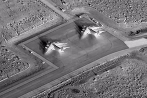
Infrared thermal imaging technology can measure temperature without contact or destruction, and observe day and night without light limitation. In agriculture, it can monitor crop surface temperature in real time, so as to monitor water content, infectious diseases and freezing injury. It can also measure organic matter concentration through soil temperature, so as to apply fertilizer automatically, identify fruits maturity for picking plan, and control greenhouse seedling temperature, processing temperature and storage room temperature. In forestry, it can assess the health of trees by surface temperature, and it can also prevent and control forest fires. In animal husbandry, infrared thermal imaging can measure the abnormal body temperature of poultry and livestock, so as to find sick or pregnant livestock and deal with them in time. It can also monitor day and night to prevent theft.
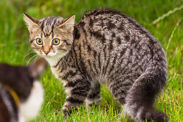
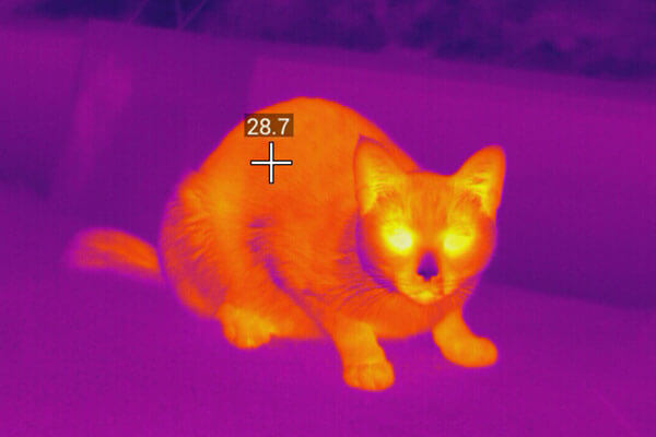
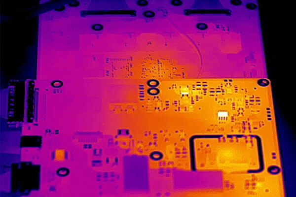
Infrared thermal imaging technology converts the invisible infrared radiation into visual image, and measure temperature without contact or destruction. It provides infrared spectrum information, thermal image distribution and temperature information for scientific research in various fields. Global Sensor Technology is the only company in China with both cooled and uncooled infrared thermal imaging detector production lines. It is willing to use infrared vision to contribute to the scientific research work of exploring the unknown and creating the future.
Go Top