As cities around the world strive to become more efficient, sustainable, and livable, the integration of cutting-edge technologies has become crucial. One such technology that is playing an increasingly vital role in the development of smart cities is infrared (IR) thermal imaging.
The Versatility of Thermal Imaging in Smart City Applications
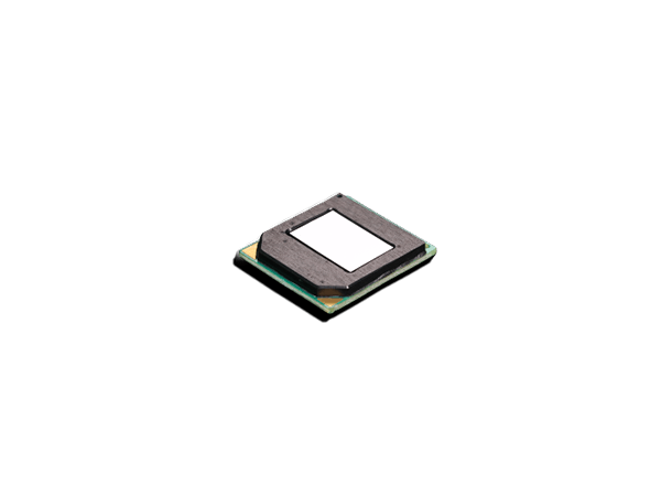
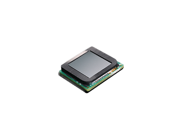
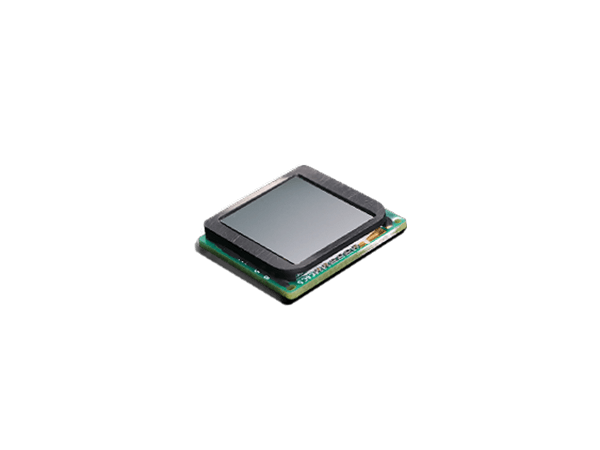
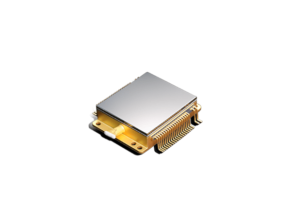
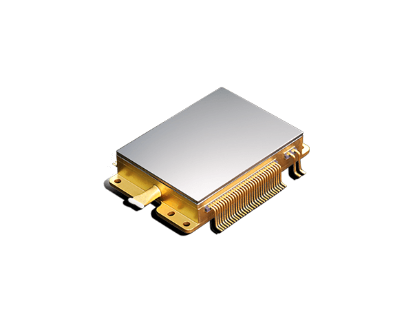
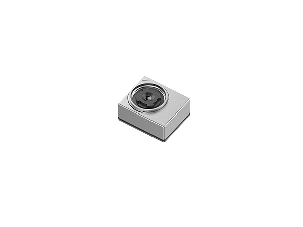
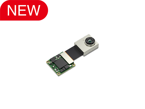
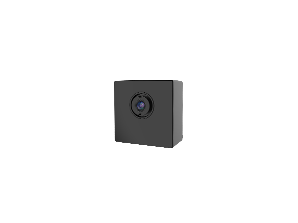
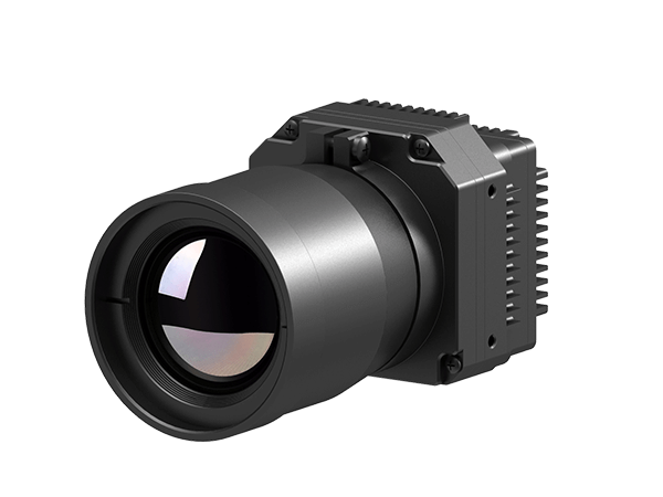
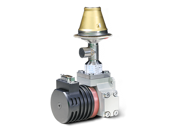
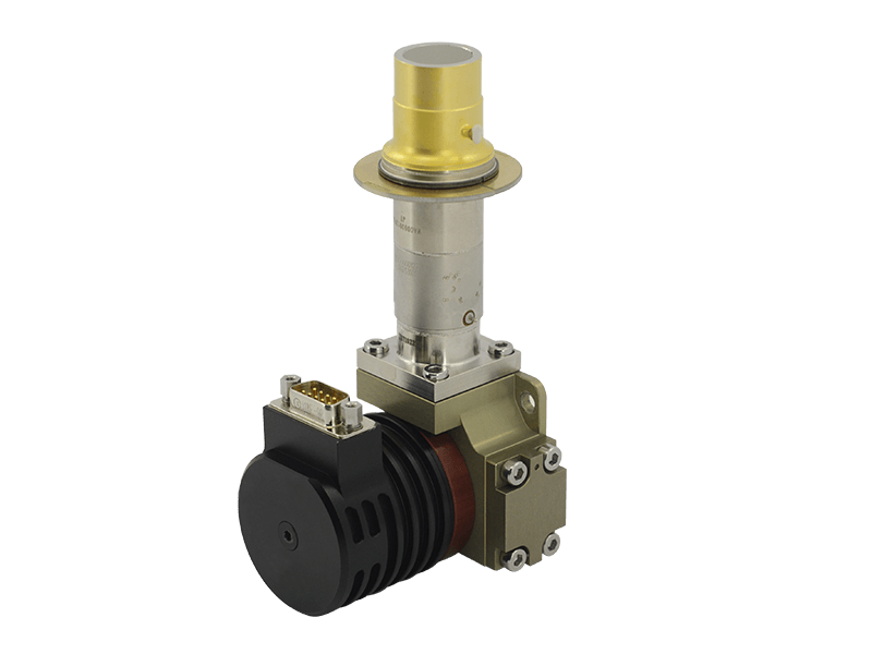
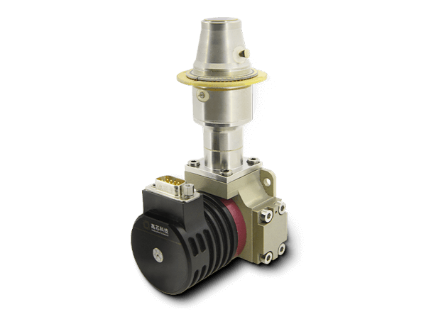
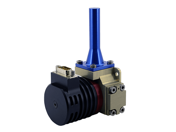
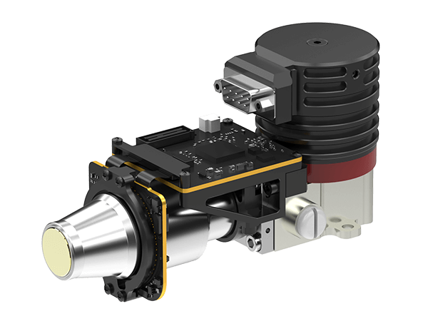
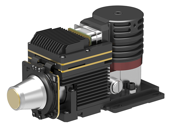
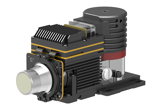
Infrared thermal imaging cameras detect and measure the infrared radiation emitted by objects, allowing them to create detailed heat maps of their surroundings. This unique capability provides a wealth of information that can be leveraged to enhance various aspects of smart city infrastructure and operations.
1.Energy Efficiency and Conservation
Thermal imaging can help identify energy inefficiencies in buildings, enabling targeted retrofits and upgrades to improve insulation, HVAC systems, and overall energy performance. This data can also inform urban planning decisions to optimize the placement of renewable energy sources, such as solar panels.
2. Infrastructure Monitoring and Maintenance
Thermal cameras mounted on drones or fixed locations can continuously monitor the condition of roads, bridges, pipelines, and other critical infrastructure. By detecting hot spots, leaks, and structural anomalies, cities can proactively address issues before they escalate, reducing maintenance costs and disruptions.
3.Public Safety and Security
Thermal imaging can enhance situational awareness and security measures in smart cities. Cameras can detect the presence of individuals and vehicles, even in low-light or obscured conditions, and alert authorities to potential threats or suspicious activities.
4.Traffic Management and Optimization
By tracking the movement and thermal signatures of vehicles, thermal cameras can provide valuable data to improve traffic flow, reduce congestion, and optimize traffic signal timing, ultimately reducing emissions and energy consumption.
5.Emergency Response and Disaster Management
Thermal imaging can assist first responders in locating and tracking individuals during emergency situations, such as fires, natural disasters, or search and rescue operations. This information can also help coordinate relief efforts and guide the deployment of resources more effectively.
6.Environmental Monitoring and Resource Management
Thermal cameras can detect and monitor the temperature of urban surfaces, bodies of water, and vegetation, providing insights into urban heat island effects, water quality, and the overall health of the local ecosystem.
The Integrated Approach of Thermal Imaging in Smart Cities
To fully harness the potential of thermal imaging, smart cities are incorporating this technology into a comprehensive, integrated system that leverages data from multiple sensors and sources. By combining thermal imaging with other smart city technologies, such as the Internet of Things (IoT), artificial intelligence, and geographic information systems (GIS), cities can create a powerful decision-support framework that enables more informed, data-driven policymaking and operational decisions.
The Road Ahead: Thermal Imaging and the Future of Smart Cities
As smart city initiatives continue to evolve, the role of thermal imaging is poised to become even more prominent. Advancements in sensor resolution, processing power, and data analytics will enable thermal cameras to provide increasingly detailed and actionable insights, paving the way for more efficient, sustainable, and resilient urban environments.
By embracing the transformative potential of thermal imaging, smart cities can unlock new levels of efficiency, safety, and livability for their citizens, ultimately shaping a more intelligent and adaptable future for urban centers around the world.
Go Top