Infrared thermal imaging technology has become a pivotal tool in modern research and industrial applications, leveraging advancements in drone technology to enhance its capabilities. This article explores the utilization of drones for conducting infrared thermal imaging surveys, highlighting their applications across various sectors and the technological components involved.
Infrared thermal imaging utilizes the infrared radiation emitted by objects to create images, which correlates directly with their surface temperatures. This non-contact method enables the detection of hot spots, analysis of thermal characteristics, and identification of targets based on their heat signatures.
Integration of Infrared Thermal Modules into Drones
Modern drones serve as versatile platforms equipped to carry an array of sensors and devices, including infrared thermal imaging systems. Key components include:
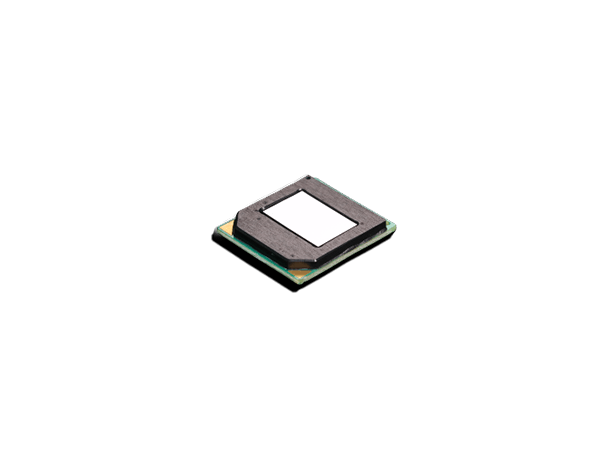
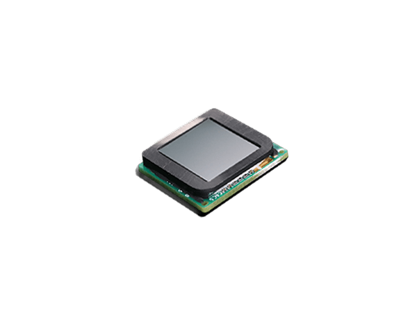
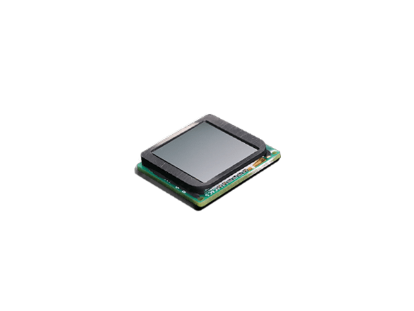
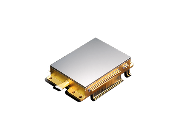
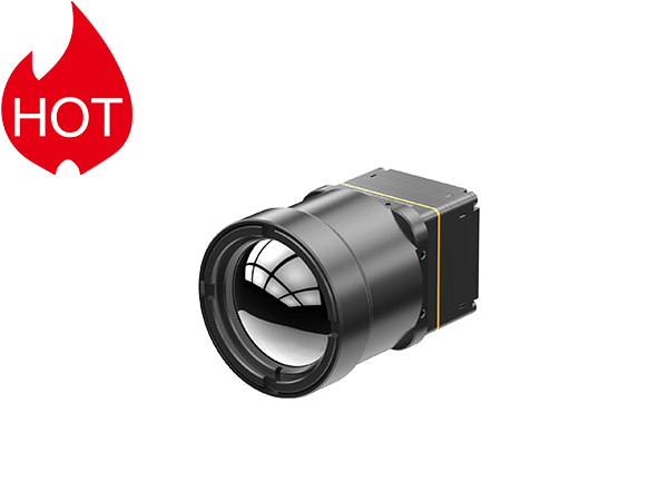
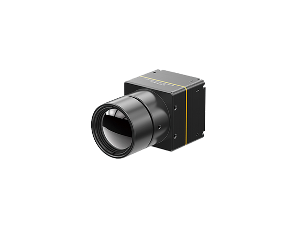
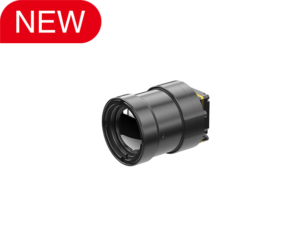
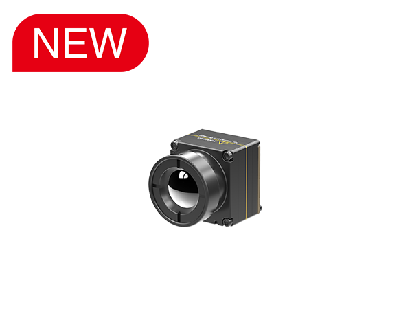
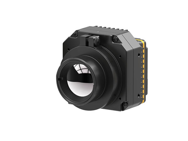
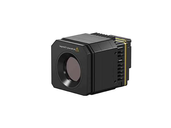
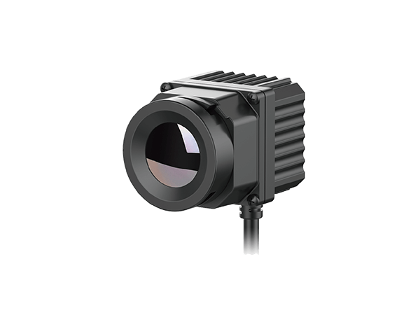
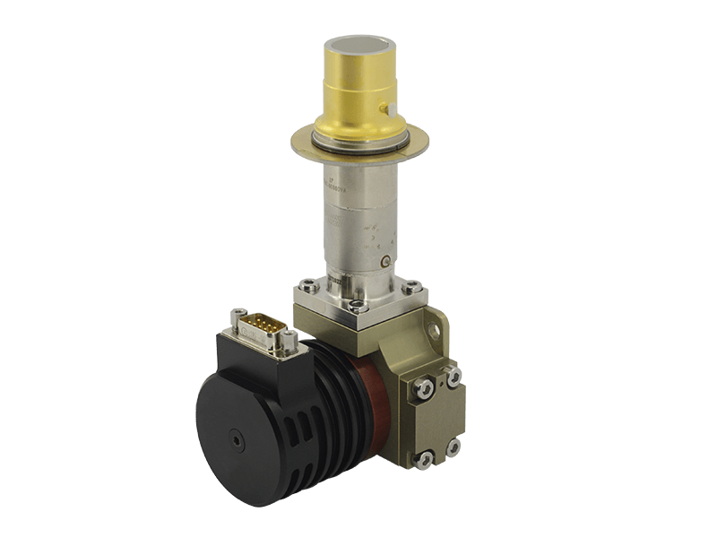
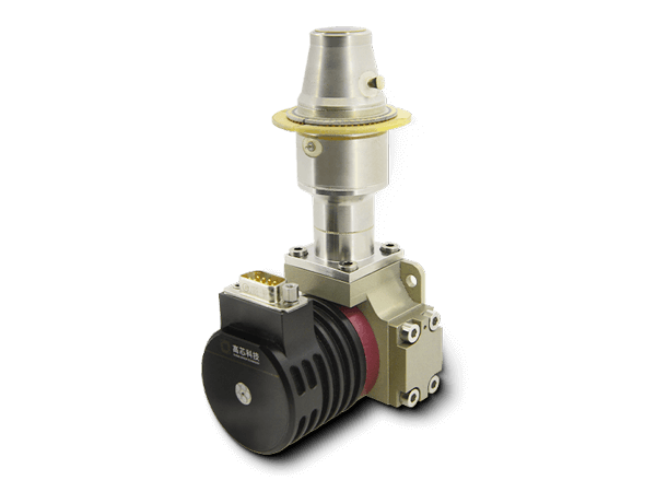
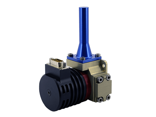
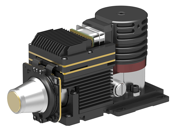
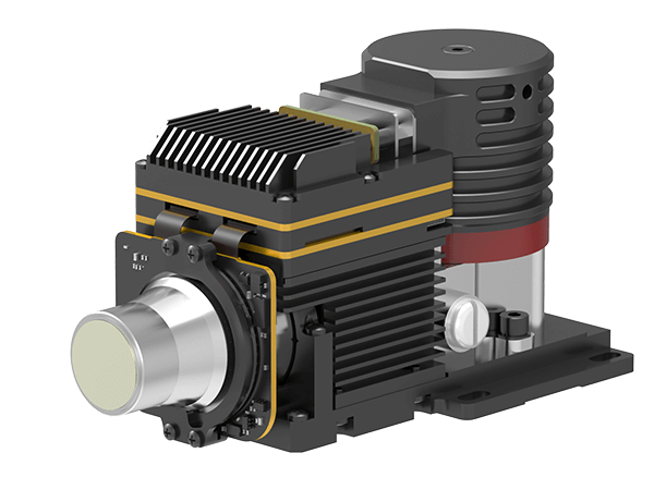
1.Infrared Camera Core
This core component of the infrared thermal imaging system captures infrared radiation and converts it into visible images or data.
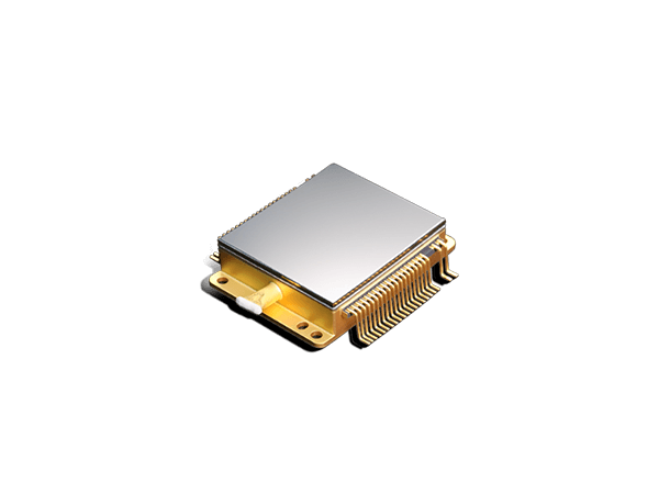
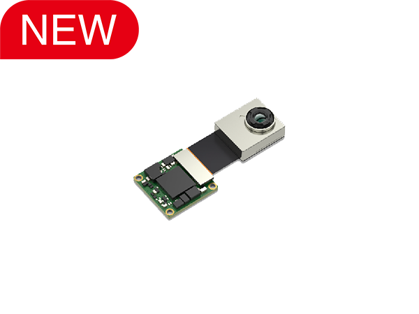
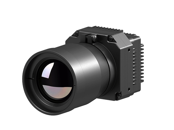
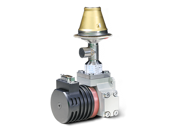
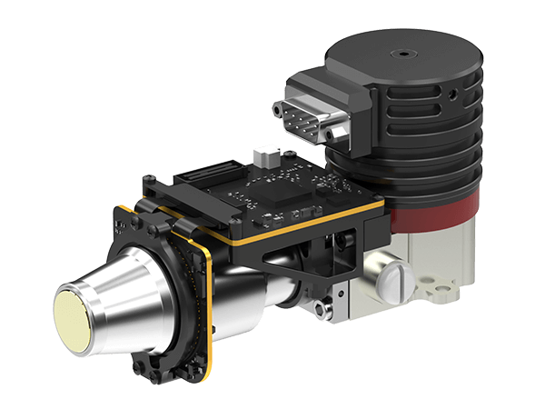
2.Drones with Integrated Thermal Modules
Some drones are specifically designed to integrate thermal modules, allowing real-time thermal imaging during flight operations. These modules are capable of rapid response and data transmission, suitable for swift deployment and large-scale surveys.
Applications Across Industries
Industrial inspection and maintenance: in industrial settings, drones equipped with infrared thermal imaging capabilities are used for:
Equipment and pipeline inspection: detecting anomalies in temperature differentials to identify potential mechanical failures or pipeline leaks.
Building structure assessments: evaluating the thermal distribution across building surfaces to pinpoint energy inefficiencies or structural issues.
Agriculture and rural applications
In agriculture, drones equipped with infrared thermal imaging are valuable for:
Crop health monitoring: assessing the growth status and health of crops, identifying diseases or water stress.
Water resource management: optimizing irrigation by monitoring changes in soil moisture levels detected through surface temperature variations.
Environmental and Natural Resource Management
In environmental research and resource management, infrared thermal imaging drones are used for:
Wildlife monitoring: tracking animal activity patterns and assessing population health.
Forest fire detection: real-time monitoring of potential fire hotspots to aid in fire prevention and response efforts.
Technological Challenges and Future Trends
While infrared thermal imaging drones demonstrate significant potential across diverse sectors, challenges remain in balancing accuracy with cost-effectiveness and addressing complexities in data processing and analysis. Future advancements in sensor technology and data analytics capabilities are expected to expand the scope and efficiency of these applications.
The integration of infrared thermal imaging capabilities into drone platforms offers efficient data collection methods and extends the application of thermal imaging technology across various sectors. As technology advances and experience grows, this combination is poised to continue playing a crucial role, providing researchers and professionals with enhanced solutions and possibilities for exploration and innovation.
Go Top